YOSEMITE
EXPLORE Tioga Pass
into Yosemite High Country
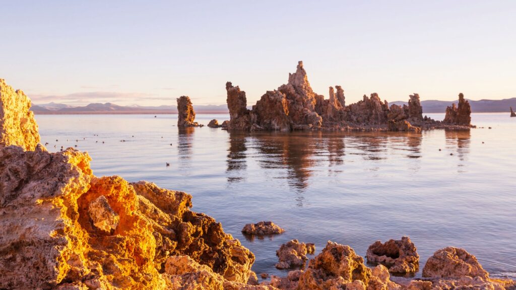
LEE VINING
Welcome to the coolest town in the Easter Sierra—your gateway to Mono Lake, Bodie, Lundy Canyon And Yosemite’s Eastern entrance.
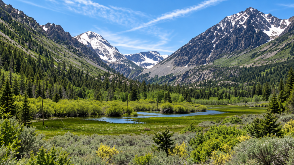
LEE VINING CANYON
The dramatic ascent from the Mono Basin toward the Sierra crest.
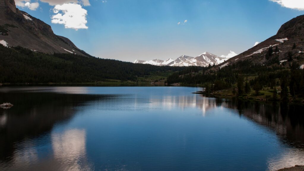
TIOGA LAKE
Alpine lake just before Yosemite’s entrance.
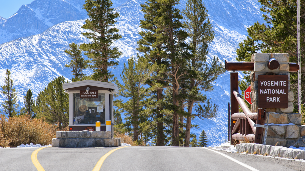
TIOGA PASS (EAST YOSEMITE ENTRANCE)
Yosemite’s eastern entrance and the beginning of Tioga Road inside the park.
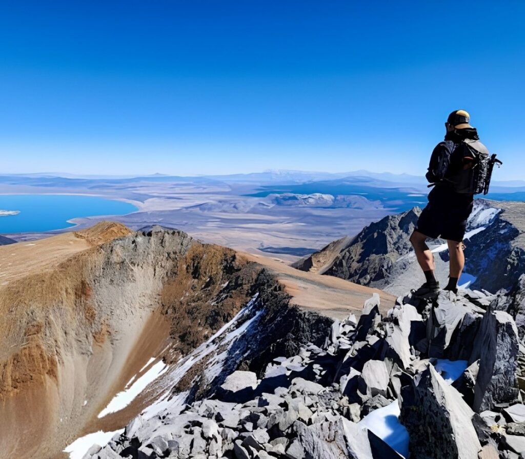
MT. DANA & DANA MEADOWS
High-elevation meadows, beautiful views, and trail access to Yosemite’s highest peak.
ChatGPT can make mistakes. Check important info.
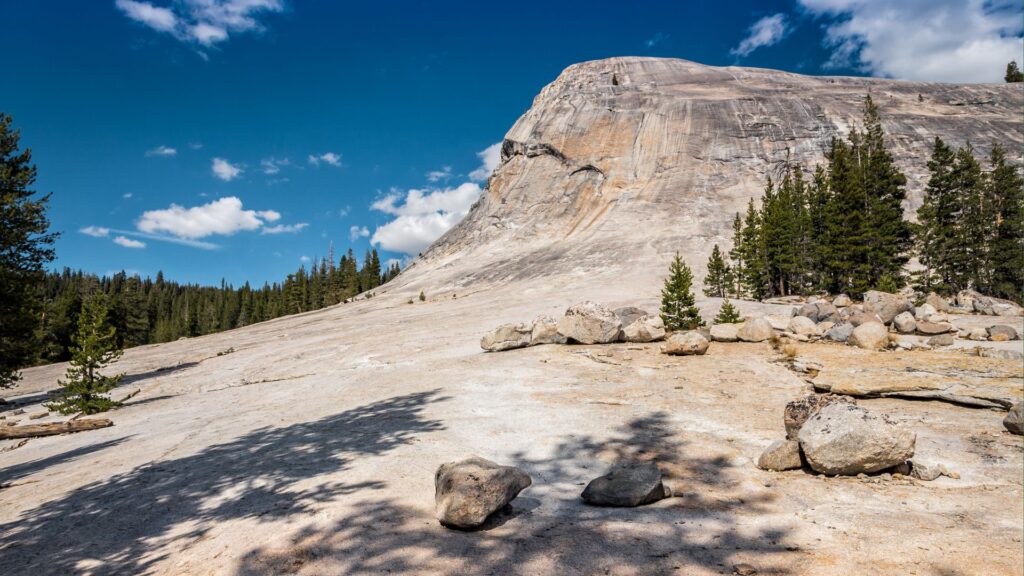
Lembert Dome & Dog Lake Trailhead
Iconic Sierra dome and short scenic walks and more challenging hiking options.
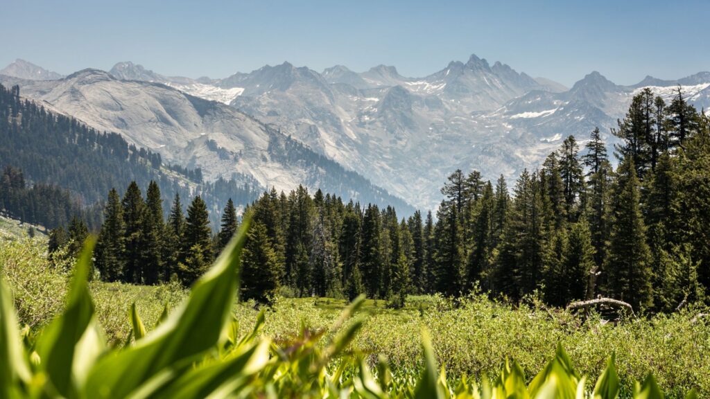
TUOLUMNE MEADOWS
The checklist destination in Yosemite’s eastern high country, with endless Yosemite beauty and lighter crowds.
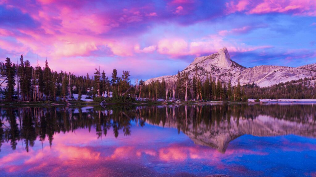
CATHEDRAL LAKES TRAILHEAD |
Access to Cathedral Lakes and the John Muir Trail.
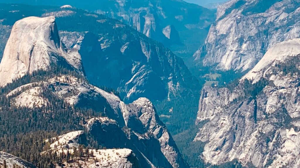
Tenaya Lake & CLOUDSREST SUMMIT
Scenic beaches, picnic areas, paddling, lakeside viewpoints AND ICONIC YOSEMITE HIKES.
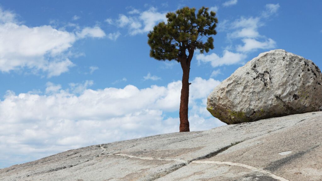
Olmsted Point
Panoramic views of Half Dome, Clouds Rest and Tenaya Canyon.
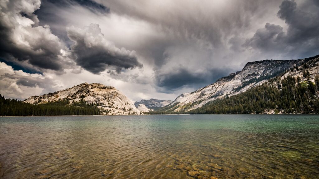
May Lake Road Junction
Access to the May Lake trailhead; the side road adds approximately two miles.
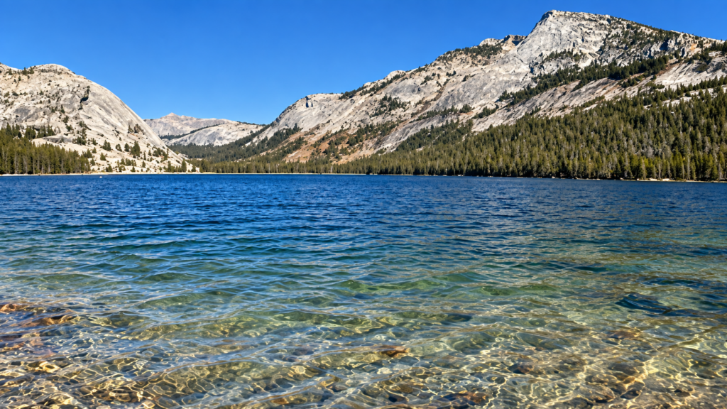
White Wolf
Forested high-country stop with seasonal facilities and trail access.
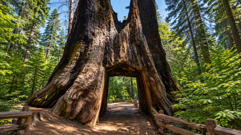
Tuolumne Grove TRAILHEAD
Access to a grove of mature giant sequoias.
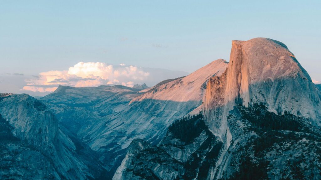
Yosemite Valley
Welcome to the valley floor.